 Photo: Holger.Ellgaard (CC BY-SA 4.0)
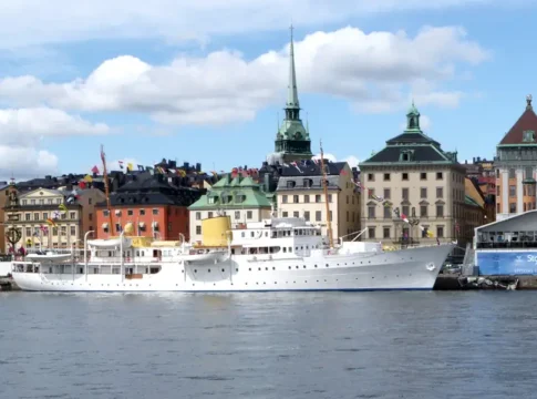
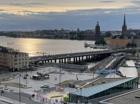
Stockholm is not built beside water — it is built because of it. Where Lake Mälaren meets the Baltic Sea, geography formed a gateway that shaped trade, defense, royal power, and the rhythms of daily life.
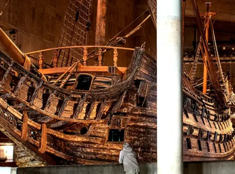
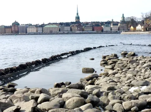
From Viking trading centers like Birka to the preserved warship at the Vasa Museum, the city’s history unfolds along its waterways. Control of the straits meant control of commerce, influence, and survival.
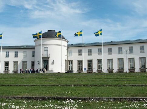
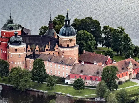
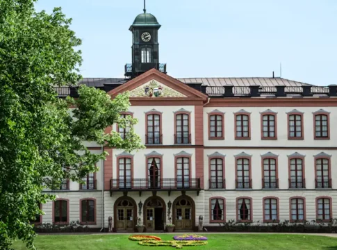
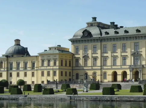
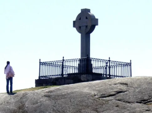
Royal residences such as Gripsholm Castle and Tullgarn Palace were deliberately positioned along lakes and coastlines, binding monarchy to maritime strategy and symbolic command of the horizon.
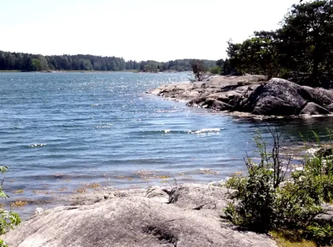
Water is not a backdrop in Stockholm — it is the city’s founding condition.
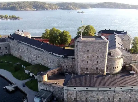
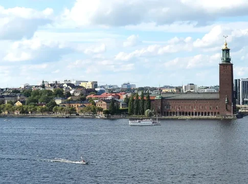
Stockholm’s position between Lake Mälaren and the Baltic Sea made it a strategic naval stronghold for centuries. Control of waterways meant control of trade, defense, and influence across Northern Europe.
Sweden’s monarchy has long drawn strength and symbolism from the waterways surrounding Stockholm. Lakeside castles and coastal retreats reflect how closely royal power was tied to maritime access and territorial control.
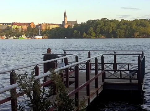
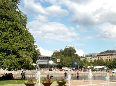
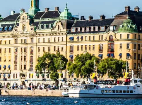
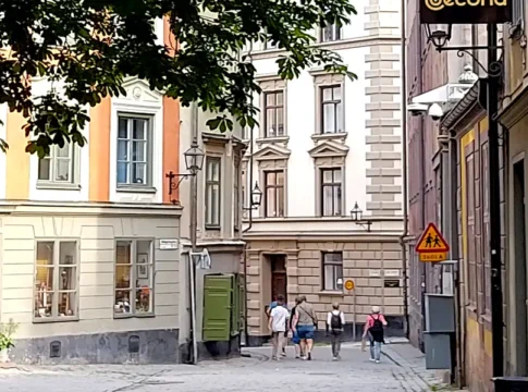
Water shapes everyday life in Stockholm. Promenades, island viewpoints, and shoreline parks connect medieval trade routes and royal passages with modern urban leisure.
Lake Mälaren and the Baltic Sea formed a natural defensive system, economic artery, and symbolic horizon. Stockholm’s bridges, quays, fortifications, and waterfront palaces reveal how geography shaped political and cultural evolution.